Floodplain Management
Lyon County, KansasQuick Links
Floodplain Regulations Resolution #06-22
Flood Map Information Services
Floodplain Management Information
Flood Map Search (Limited Local Information)
(Use ‘view map’ option to find floodplain map)
FORT– Flood Observation Reporting Tool
![]()
(Enter your address)
For more Flood Insurance Information click below.
![]()
Elevation Certificates on file CLICK HERE.
National Weather Service Flood Forecast
Floodplain Management
Samuel Seeley, CFM, CPM, Director
Lyon County Floodplain Management
430 Commercial Street, Room 101
Emporia, Kansas 66801
Email: sseeley@lyoncounty.org
RISK Map Project Links
_________________________________________________________
FOR IMMEDIATE RELEASE:
FLOOD SAFETY AWARENESS WEEK
MARCH 7-11, 2022
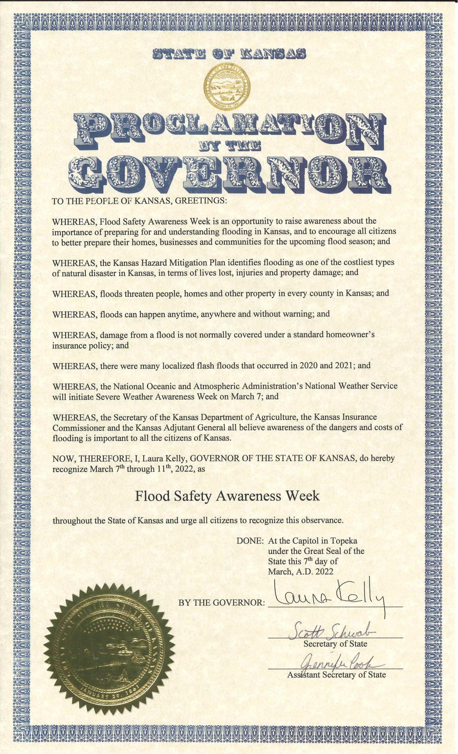
-03/07/2022
_____________________________________________________
Kansas FORT– Flood Observation Reporting Tool
Strengthen Your Community’s Knowledge of Flood Patterns with FORT!
The Flood Observation Reporting Tool is a quick and easy way to track flood events in Kansas.
-03/07/2022
_______________________________________________________________________________________
NEW FLOOD MAPS NEWS!!
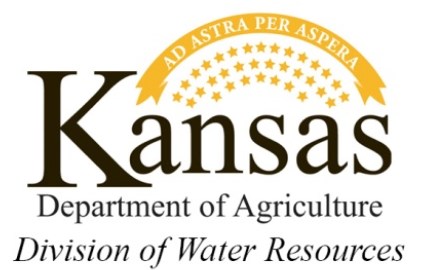
Preliminary floodplain maps in Lyon County were issued on May 22, 2020.
More information is available for this project at https://agriculture.ks.gov/divisions-programs/dwr/floodplain/mapping/ under Mapping Projects for the Neosho Headwaters project. We will place relevant information on this site when it becomes available. This will include an information sheet with contact information, as well as several website addresses where you can see the draft map and learn about Letters of Map Change, flood insurance, and other pertinent information.
Please visit the draft floodplain review website at http://gis2.kda.ks.gov/gis/neosho_headwaters/ to see the draft floodplains and leave your comments.